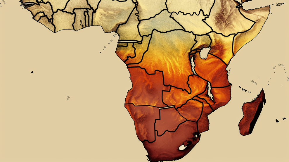
South Africa is a country with diverse landscapes and climates, ranging from arid deserts to lush forests. However, with the changing climate and unpredictable weather patterns, many parts of the country are facing drought and water scarcity. To understand the extent of the problem, a map indicating the drought-stricken areas in South Africa is necessary. This essay explores the current drought situation in the country and a map of South Africa that indicates the drought-stricken areas.
Current Drought Situation in South Africa
South Africa has been experiencing drought conditions for several years, with some regions being hit harder than others. According to the South African Weather Service (SAWS), the country has had several consecutive years of below-average rainfall, leading to severe water shortages in many parts of the country. As of 2021, the Western Cape, Northern Cape, Eastern Cape, and parts of the Free State are the worst-hit provinces, with some areas experiencing the worst drought in a century. See the live map on Google.
Impact of Drought on the Environment and Economy
Drought has far-reaching effects on both the environment and the economy. In the environment, drought leads to soil erosion, reduced vegetation cover, and the loss of biodiversity. It also affects wildlife populations, which are often forced to migrate in search of water and food. In the economy, drought causes crop failures, livestock losses, and reduced hydropower generation. It also leads to water rationing, increased food prices, and job losses in the agricultural sector.
Mapping Drought-Stricken Areas
Mapping technology can be used to identify the areas that are most affected by drought in South Africa. Geographical Information Systems (GIS) can be used to collect and analyze data on rainfall, soil moisture, vegetation cover, and other factors that influence drought. By overlaying this data on a map, it is possible to identify the areas that are most affected by drought and the severity of the drought.
The map can be color-coded to indicate the level of drought severity in different areas. For example, areas experiencing severe drought can be highlighted in red, while those experiencing mild drought can be highlighted in yellow. The map can also be updated regularly to reflect changes in the drought situation, helping authorities and policymakers to make informed decisions on water management and drought relief.
Challenges of Mapping Drought-Stricken Areas
Mapping drought-stricken areas in South Africa is not without its challenges. One of the biggest challenges is the lack of accurate data on rainfall, soil moisture, and other factors that influence drought. This is particularly true in rural areas, where data collection is often limited. Another challenge is the cost of implementing and maintaining mapping technology, which can be prohibitive for smaller municipalities and communities.
To overcome these challenges, it is important to involve all stakeholders in the mapping process, including communities, local authorities, and researchers. Community-based monitoring and data collection can help fill the data gap, while partnerships with private sector organizations can provide funding for mapping technology. Additionally, mapping technology should be made accessible and user-friendly, allowing all stakeholders to participate in the process.
Conclusion
Mapping drought-stricken areas in South Africa is a crucial step in managing the impact of drought on the environment and the economy. By using GIS technology, it is possible to collect and analyze data on drought and water scarcity, and to identify the areas that are most affected. However, there are several challenges that need to be overcome, including the lack of accurate data and the cost of implementing and maintaining mapping technology. To address these challenges, it is important to involve all stakeholders in the mapping process and to make mapping technology accessible and user-friendly. With these measures in place, mapping technology can play a critical role in addressing the challenges of drought and water scarcity in South Africa.
